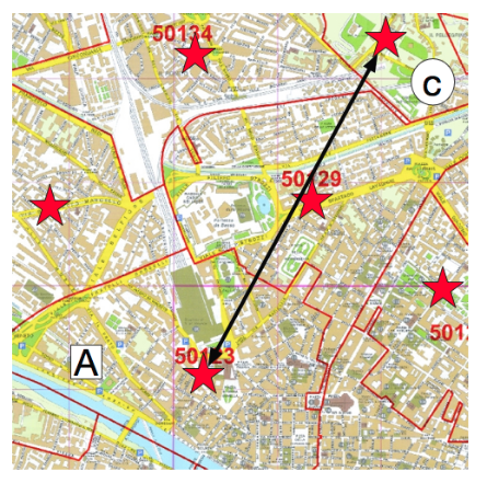
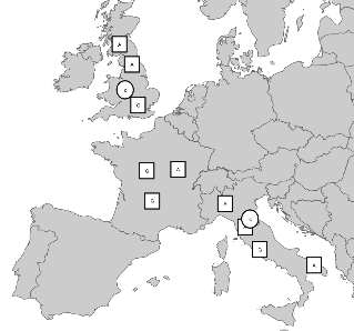
GIS and database modeling for commercial fiber Access pricing across 25 global countries down to street level.
Competitive pricing analysis for pricing policies, working with global account managers and product managers to set pricing for networks.
Promoted to Product Manager to drive specifications for real-time global access pricing engine.
Global City Access PostcodesGlobal access networks
GIS Consultant, Chris Britton Consultancy / Mouchel (Civil Engineering) serving UK Highways agencies 2001-2002
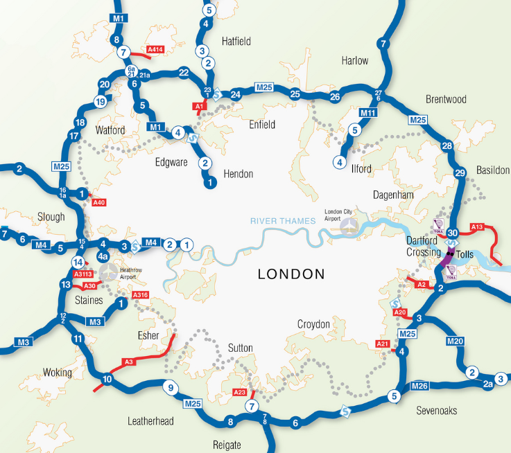
Mapping systems development to support major UK managed motorway networks.
Supported the roll-out of the first smart motorway network coupling real time traffic sensing and monitoring with dynamic speed limits to reduce delays, accidents and improve traffic flow.
Initiated stand-up of GIS for managing the M25 roadway network, created vector network topology from self-commissioned aerial survey.
Supported development of web-enabled GIS tool to aid rapid response teams.
Supported roadside surveys with Differential GPS equipment for construction and environmental protection.
Trained GIS technicians in Perth, Scotland to digitize road network for national truck-based road condition survey.